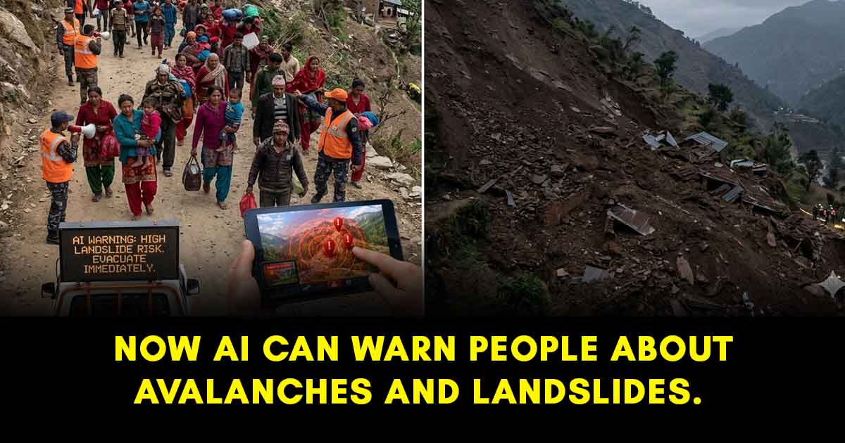
Scientists are now using AI to monitor mountain movements in Nepal before they become a threat.
If you’ve ever travelled through Nepal’s hilly roads during the monsoon, you probably know the feeling. The rain doesn’t stop, the roads get muddy, and somewhere in the back of your mind, there’s always that quiet thought—what if a landslide happens? For many of us, it’s just a passing concern. But for people living in these regions, it’s part of everyday life.
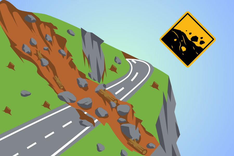
Every year, there is news about how landslides damage homes, block highways, and in the worst cases, take lives. They often happen without much warning—but that is starting to change. In places like Kimtang village, scientists are now piloting artificial intelligence (AI) to predict landslides long before they actually happen. By analyzing shifts invisible to the human eye, this technology can offer predictions years ahead of time. If this works at scale, it could be a life-saving shield for the rest of Nepal.
The Technology: How it works
When most of us already depend on AI for even simpler tasks, scientists have used it for the benefit of people. Their idea is actually pretty simple, they combined the satellite data with AI and looked for early signs that could be threatening. Let's talk about how this works:
Satellite Radar:
InSAR is a satellite radar that monitors the Earth's surface from space. In simple terms, satellites keep passing over the same area and “checking in” on it.
Each time they do, they send a signal down to the ground and track how it comes back. A few signals don't say much—but when you compare those signals over time, small changes start to show up.
And that’s the interesting part. Even a tiny shift in the ground—just a few millimeters—can be picked up. It’s not something you’d ever notice on your own, but over time, those small movements can reveal which areas are slowly becoming unstable.
AI Integration:
The satellites generate a huge amount of data, way more than humans can manually analyze. That’s where AI comes in. AI models are especially trained to go through all this data and spot patterns. Not just movement, but dangerous movement.
Think of it like this: the system doesn’t just see that the ground is shifting—it understands which patterns have led to landslides in the past. By comparing current data to historical disasters, it gets better at answering a critical question: Is this slope likely to collapse? In some cases, it can detect warning signs years in advance.
You may also like:
Why does it matter
Nepal is known as the land of Everest, and it truly lives up to this name. Our hills are beautiful, but landslides are a real risk. When we look carefully, this tech can help in many ways:
- Early warning - With the help of data collected, the AI gives people a heads-up. If a slope is moving even if slowly, locals can stay alert and prepare before something dangerous happens.
- Better planning - If we can identify unstable ground before starting construction on mountains, engineers can either avoid risky areas or plan a way to tackle such an occurrence.
- Faster response – It makes disaster response easier. Officials know where to focus first and prepare rather than being clueless.
- Watch remote spots – Hard-to-reach areas can be monitored from satellites.
The bigger picture
Of course, AI cannot 'stop' a landslide because nature doesn’t work like that. However, what it can do is remove the element of surprise. In most disasters, the biggest danger isn't just the event itself, but the lack of time to react.
With the help of AI, scientists can now identify the risks that can happen months or even years in advance. This allows Nepal to move from reacting after a disaster to preparing for them.
Whether to relocate the vulnerable village like Kimtang or plan safer highway routes, the advancement in technology is helping save lives and protect our infrastructure.
Conclusion
We often hear about AI doing flashy things, like generating art, writing essays, or powering chatbots. But the implementation of systems like SAFE-RISCCS in places like Kimtang shows the kind of AI use that actually matters on the ground.
If satellite-driven models can give us even a few extra days or years of warning, that isn’t just innovation—it’s a life-saving shield. In a mountainous country like Nepal, this isn't just a tech trend, it’s a necessity worth paying attention to.
Article Last updated: March 27, 2026