

It is quite common for people in Kathmandu to express dissatisfaction with Google Maps or other digital maps’ accuracy. They sometimes provide the direction leading to blocked roads while navigating through "gallis" (alleys). This is quite frustrating. However, we now have a solution with the Galli Maps application aiming to address this issue. VOILA!!! This app assists users to navigate through the alleys and locates houses as well as landmarks which is quite a work with other digital maps.

Galli Maps: Overview
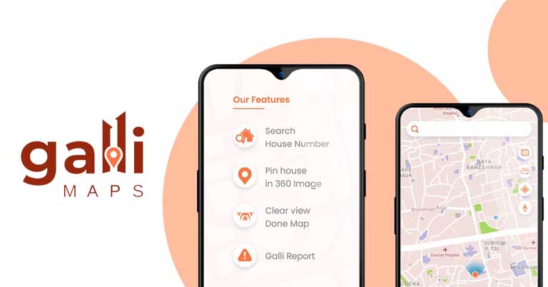
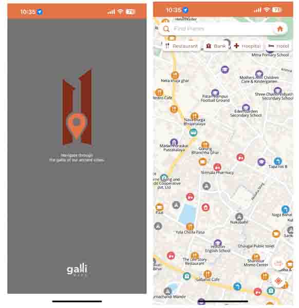
Galli Maps is one of the helpful apps that lets you find the location in alleys with its 360-degree street views. The 360° street views aren’t quite useful at this time but users will be able to use it efficiently soon. However, the app allows you to search for specific house numbers and also provides accuracy while directing various places. The app is getting popular among e-commerce platforms and ride-sharing companies. There are other available apps like Google Maps and Apple Maps, Galli Maps is here to create its own value in the market. Unsurprisingly, it has also received awards for being a startup, innovative product, and rising star at the Infradevelopers ICT Awards.The foundation of Galli Maps: Who, Where, and How?
Raj Bikram Maharjan, CEO & Co-Founder of Airlift Technologies introduced the Galli Maps. He had an interest in making and flying drones as a hobby. After he came back to Nepal after his studies, he found an opportunity to work in Nepal. In 2020, during the Covid pandemic when everything was at pause, Maharjan faced a problem with the delivery of an instrument he had ordered online. The delivery company had difficulty finding his house because it was located in a narrow alley. This issue kept happening whenever he made online purchases, and he realized that many other people were experiencing the same problem. Maharjan, who was already involved in drone mapping services for local organizations and engineering consultancies, came up with an idea. He decided to create localized maps that would provide high-resolution 3D visuals and help users navigate through all the narrow streets. His goal was to find a solution not only for himself but for others facing similar challenges.- Also Read:
How does Galli Maps work?
The app uses high-resolution drone images and has house ID numbers for areas like Kathmandu Metropolitan, Kirtipur Municipality, and Kageshwori Municipality. To use the service, you can download the app from Android and iOS. Then, type the location and there you go. It is similar to Google Maps and other digital maps. Regarding future plans, Maharjan wants to install 3D mapping in public transportation services.- Meanwhile, check out our unboxing and review of Realme 11 Pro+.
Article Last updated: June 10, 2023